* The Swing Bridge over the Hātea River at AH Reed Park is being replaced and is currently closed. Will reopen in Autumn of 2027 *
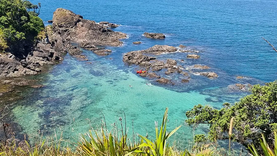
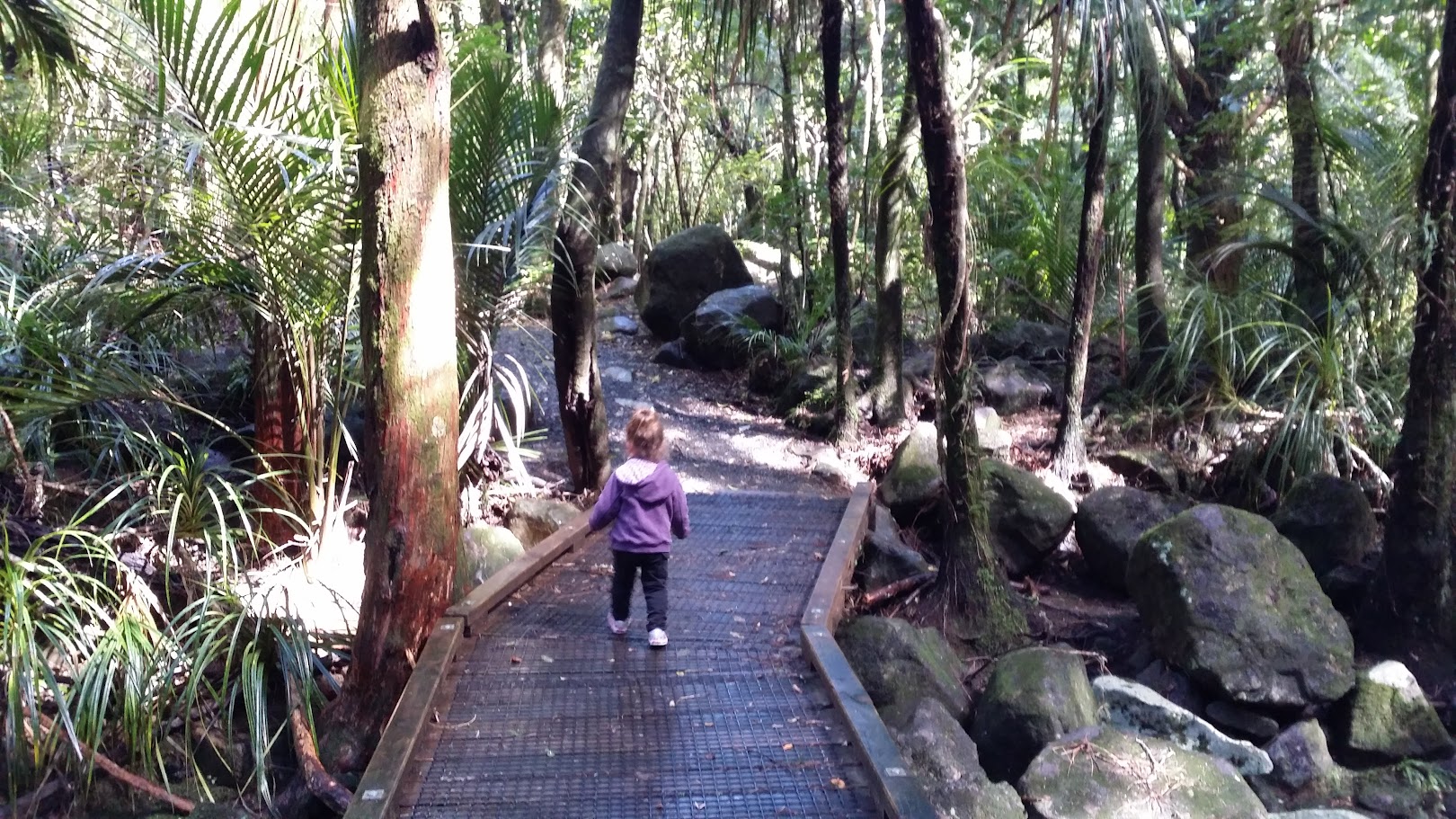
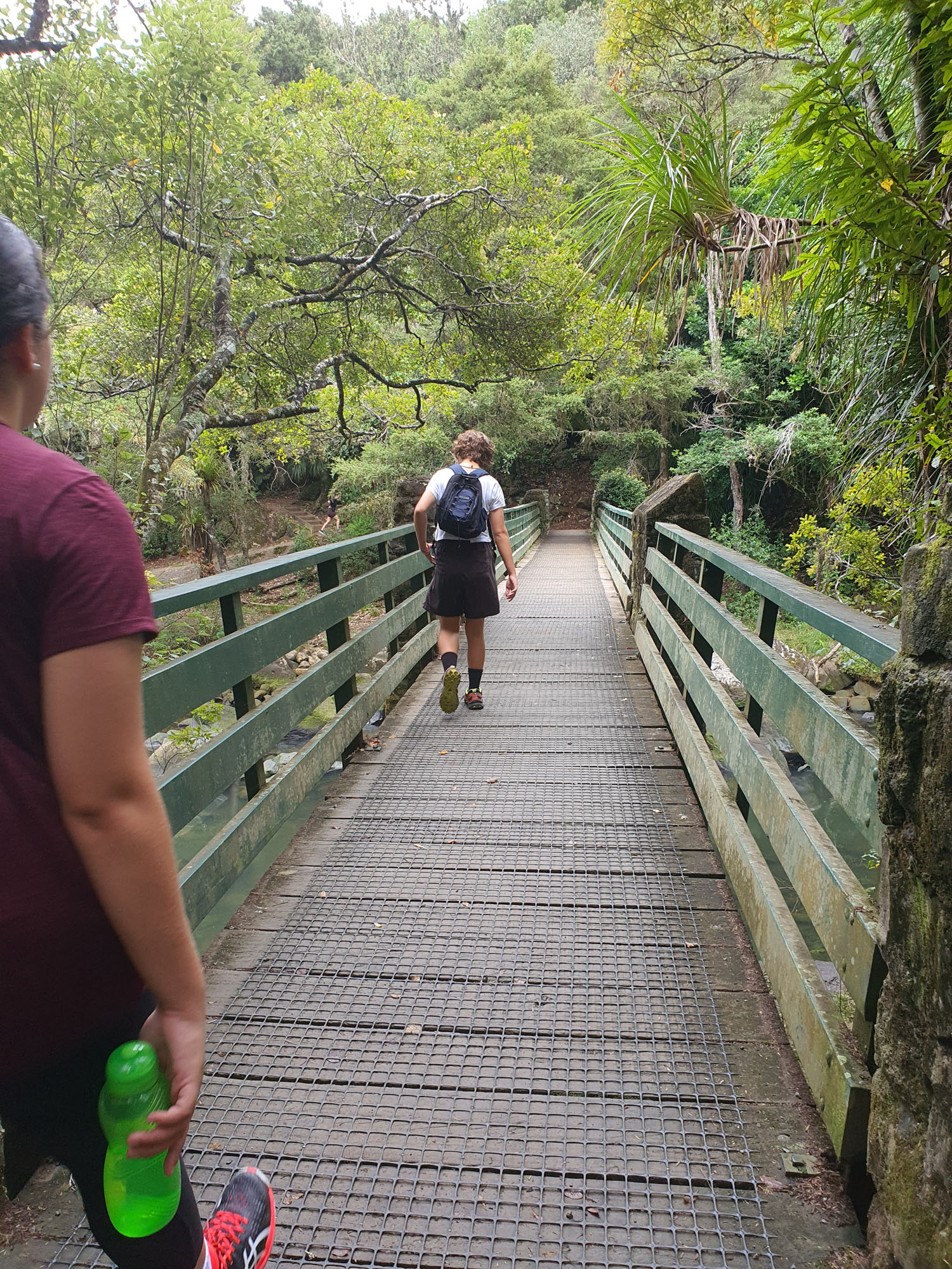
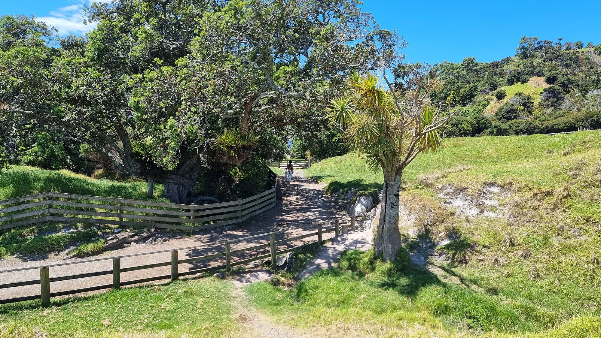
The Hātea River Walkway offers a scenic, accessible route from central Whangārei to the stunning Whangārei Falls. Following the river northward through parks, bush reserves, and boardwalks, this well-formed path blends urban and natural environments and is ideal for walking, running, or cycling.
Length: Approx. 6 km one way
Time: 1.5–2 hours one way
Difficulty: Easy
Highlights: Hātea River, AH Reed Memorial Park, native bush boardwalks, 26-metre waterfall.
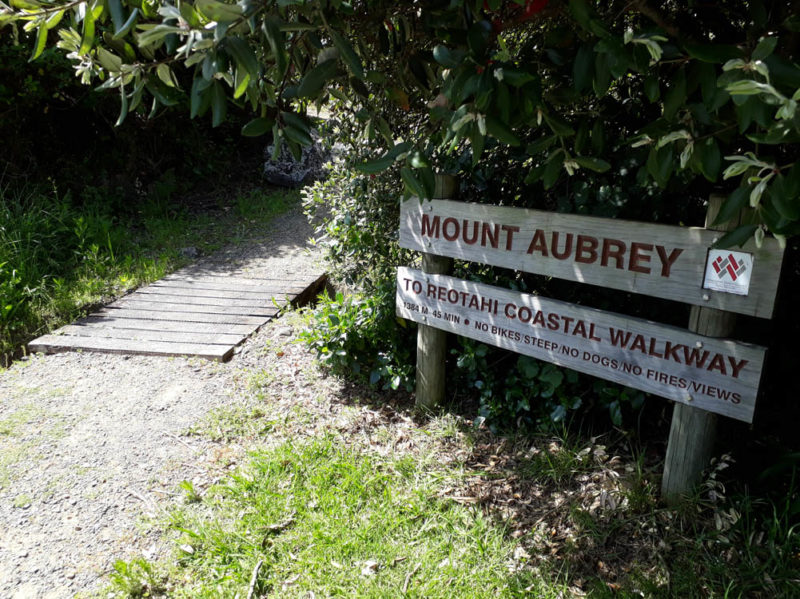
Starting near the Town Basin, the walkway winds past several parks and crosses multiple footbridges as it follows the course of the Hātea River. Highlights along the route include sculpture installations, native bush sections, and the canopy bridge in AH Reed Memorial Park. This short detour through towering kauri trees is a favourite for families and nature lovers.
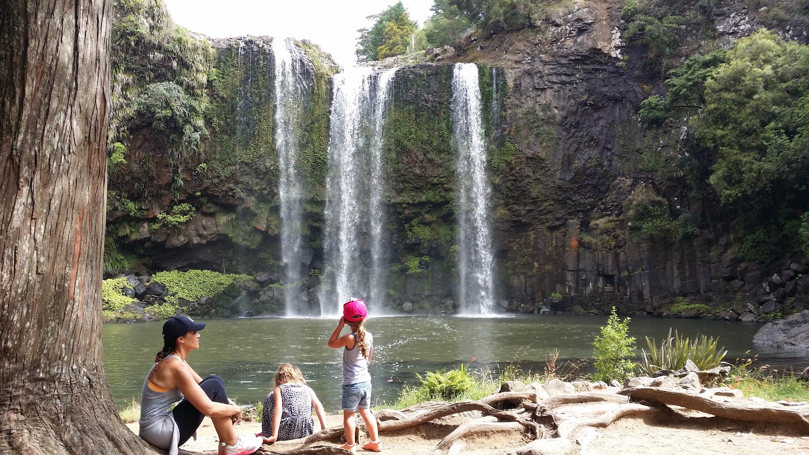
The final section of the track leads to Whangārei Falls, one of the region’s most photographed natural landmarks. The falls drop 26 metres over a basalt cliff into a wide pool below and are surrounded by native bush. Well-maintained paths and viewing platforms offer great photo opportunities from both above and below the falls.
The full walk from the Town Basin to the falls is approximately 6 km one way and takes around 1.5 to 2 hours at a leisurely pace. The track is mostly flat with some short inclines and is suitable for a range of fitness levels. Toilets, seating, and picnic spots are available at several points along the route.
Whether you walk the entire length or explore just a section, the Hātea River Walkway is a relaxing and rewarding way to experience Whangārei’s natural charm.