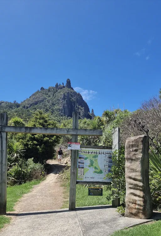
The Mount Aubrey Track is a short, scenic walk in the Whangārei Heads area, offering sweeping views over Whangārei Harbour, Reotahi, and the surrounding coastline. Less steep than nearby Mount Manaia, this track is a great option for those looking for rewarding views without a strenuous climb. (see full article with more photos)
Length: Approx. 4 km return
Time: 1.5–2 hours return
Difficulty: Moderate to challenging (steep sections with stairs)
Highlights: Dramatic volcanic rock formations, native forest, and 360° summit views.
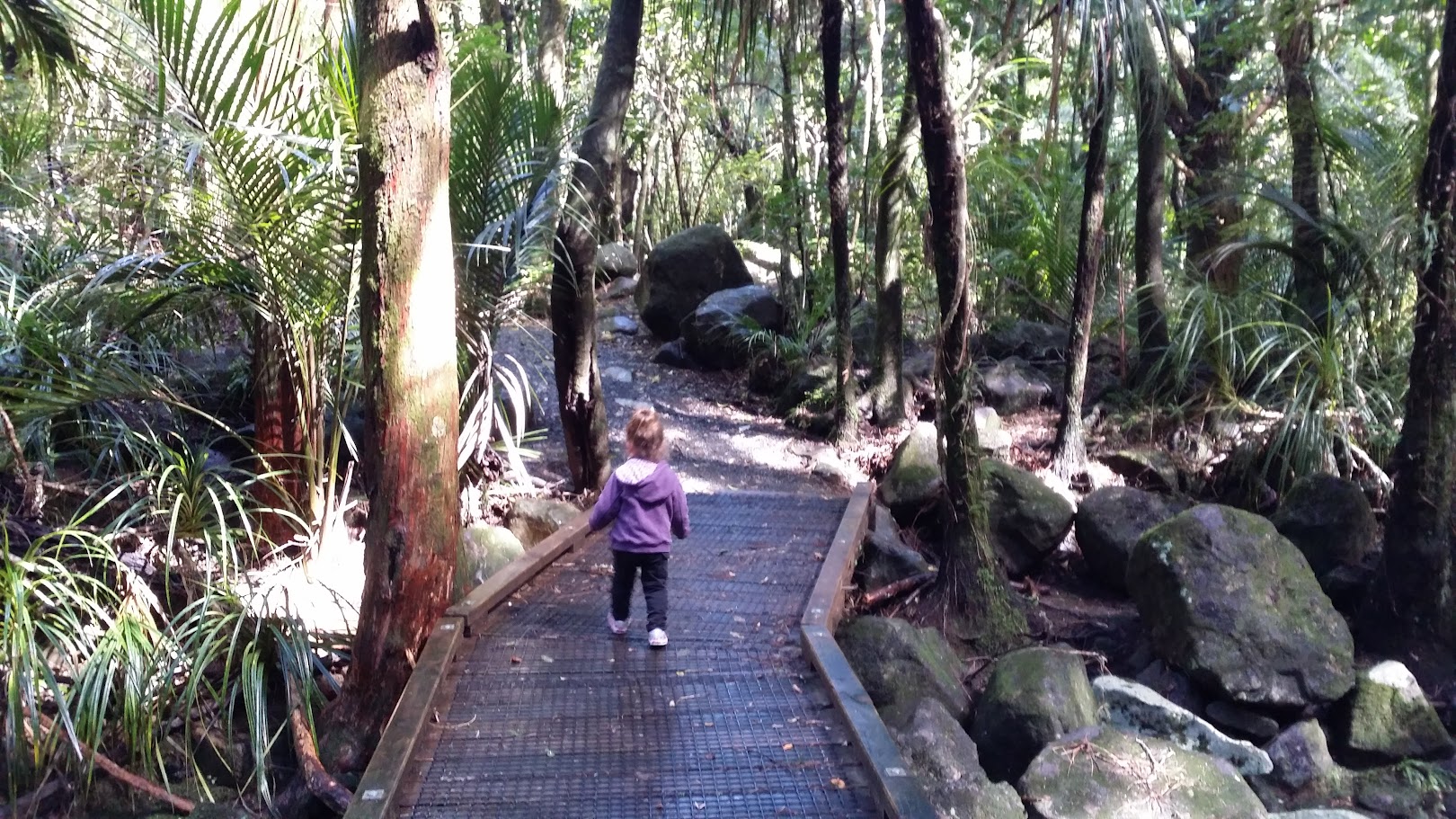
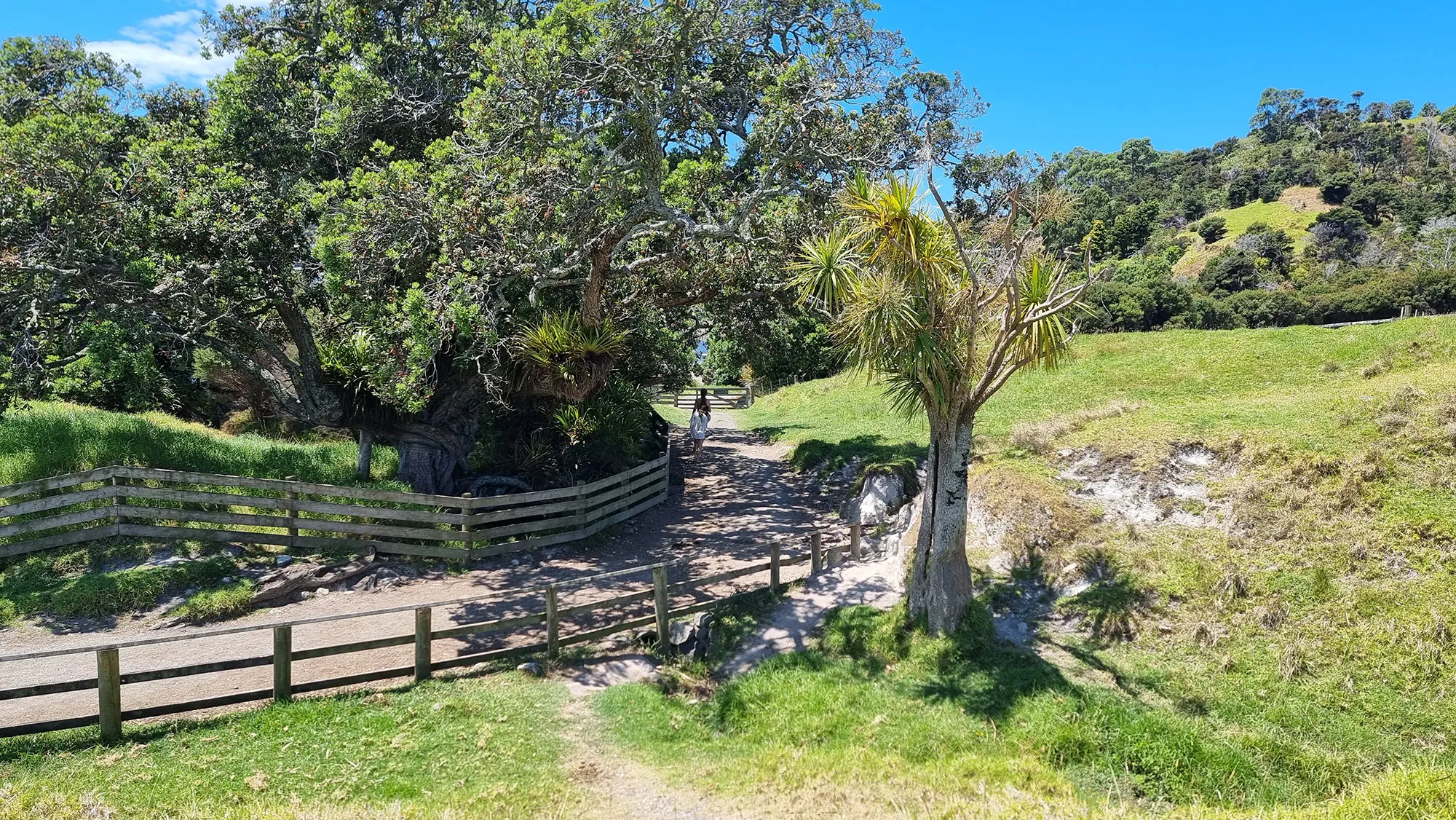
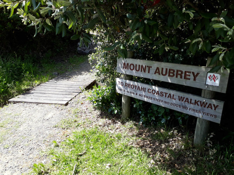
The walk begins near the Reotahi car park and weaves its way up through native bush, rocky outcrops, and open ridgelines. The track can also be walked from the Tiller Park entrance, making it suitable for a one-way or return loop. Along the way, you’ll pass remnants of historic World War II gun emplacements and bunkers, adding a fascinating layer of history to the natural beauty.
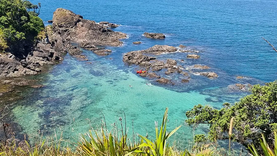
At the top, the track leads along a ridge with views in all directions—across to Marsden Point, over the Reotahi Marine Reserve, and back toward Mount Manaia. On a clear day, you can even see as far as Ocean Beach and beyond. The ridge features volcanic rock formations and patches of open grass, providing ideal spots to stop and take in the surroundings.
Although the walk is relatively short, it does include some narrow sections and loose rocks underfoot, so good footwear is recommended. The full track takes around 1 to 1.5 hours depending on your pace and chosen route.
Mount Aubrey Track is perfect for walkers of moderate fitness who want an accessible adventure with standout views.