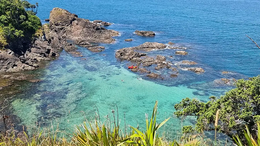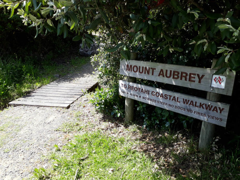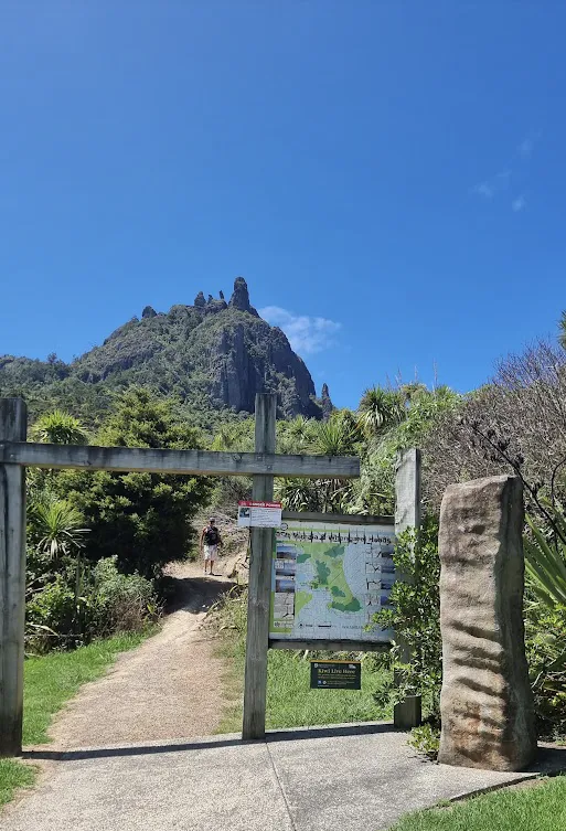
The Mount Manaia Track is one of Whangārei’s most iconic short hikes, offering sweeping views over the harbour, Bream Bay, and the surrounding coastline. Towering 403 metres above sea level, Mount Manaia is a dramatic formation of jagged volcanic peaks and steep forested slopes, rich in both natural beauty and cultural significance. See full article with more photos on Mount Manaia walking track.
Length: Approx. 4 km return
Time: 1.5–2 hours return
Difficulty: Moderate to challenging (steep sections with stairs)
Highlights: Dramatic volcanic rock formations, native forest, and 360° summit views.
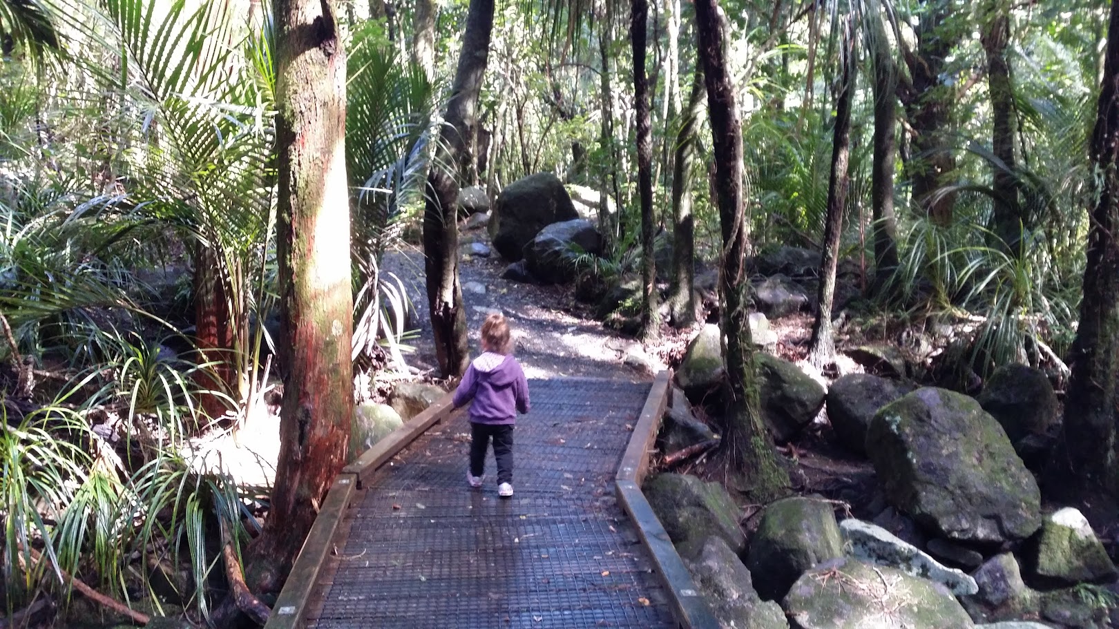
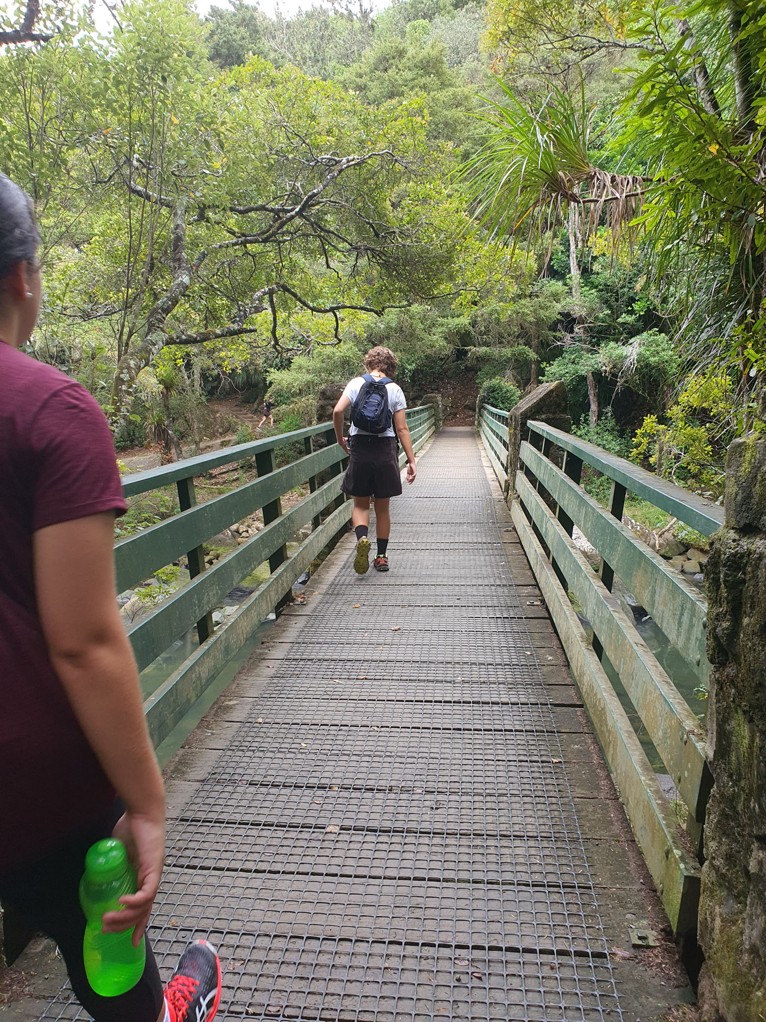
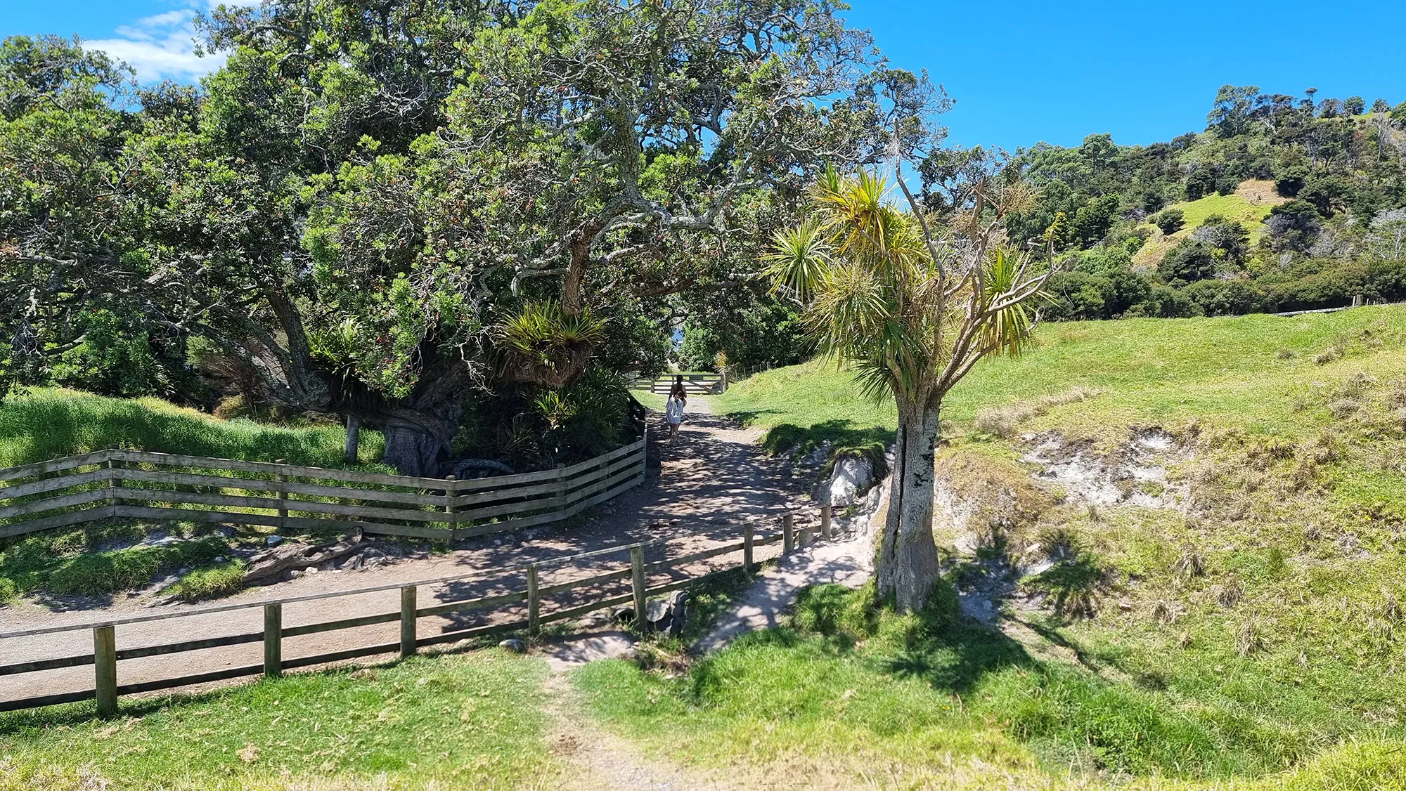
The well-maintained track begins just off Whangārei Heads Road, opposite the Mount Manaia Club. From there, the path quickly begins its steep ascent through regenerating native forest, with occasional breaks in the canopy revealing glimpses of the harbour below. The climb includes many stairs and switchbacks, making it a solid workout—but the effort is more than worth it.
At the summit, visitors are rewarded with one of the most impressive coastal views in Northland. The lookout point, perched among the towering rock pinnacles, provides a 360-degree panorama that stretches from Marsden Point and Ruakākā to the Hen and Chicken Islands offshore.
Mount Manaia holds deep cultural significance for local Māori, and is considered a sacred site (wāhi tapu). The rock formations are said to represent figures from an ancient legend, and visitors are encouraged to respect the area’s spiritual value.
Allow 1.5 to 2 hours return for the walk. While the track is suitable for most reasonably fit walkers, sturdy footwear is recommended due to the steep and sometimes uneven terrain. There are no toilets at the track entrance, but facilities can be found nearby at Taurikura Bay.