The Parihaka Scenic Reserve is home to a network of walking tracks that lead to the summit of Mount Parihaka, an extinct volcano rising above central Whangārei. Offering panoramic views, historical significance, and a mix of forest and urban fringe, these tracks are a popular destination for both locals and visitors.
Length: Various options, up to 4 km return
Time: 30 minutes to 1.5 hours
Difficulty: Easy to moderate
Highlights: City and harbour views, historic pā site, native bush.
There are three main routes to the summit: the Ross Track, Drummond Track, and Dobbie Track. Each offers a slightly different experience but all meet near the summit, which sits 241 metres above sea level. The most popular access points are from Dundas Road, Hātea Drive, and Mair Park. Walkers can choose return or loop options depending on time and fitness level.
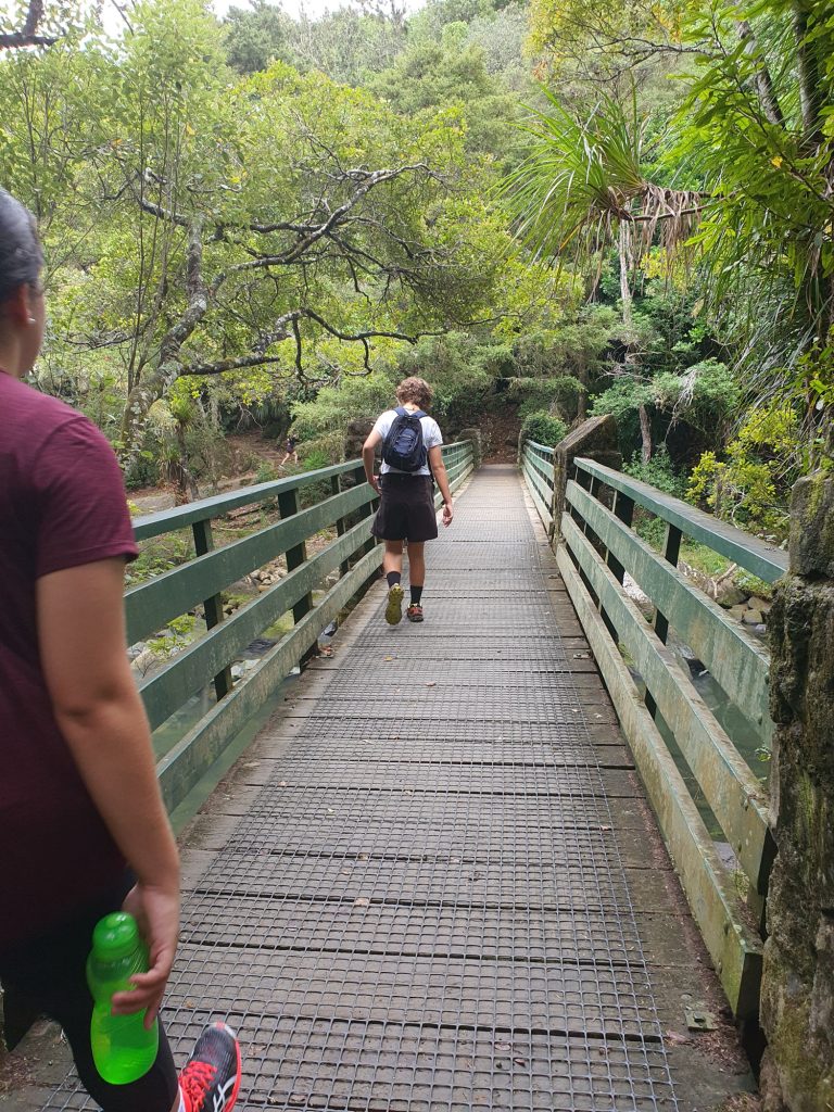
The tracks pass through regenerating native bush and offer glimpses of birdlife along the way. As you near the top, the canopy thins and wide views open up over Whangārei city, the harbour, and surrounding hills. At the summit, a lookout and memorial acknowledge the site’s history as a former pā and its importance in both Māori and European heritage.
The tracks vary in steepness, with steps in some sections, but they are well-maintained and suitable for walkers with moderate fitness. Most summit routes take around 30 minutes to an hour one way, depending on your starting point.
Parihaka is a great option for a short hike with rewarding views. It’s especially popular for morning exercise, sunset photography, or as part of a wider loop incorporating Hātea River Walkway and Mair Park.
