Whangarei has got a stunning scenery that is best admired on foot. Several walks and tracks throughout the entire district are waiting to be explored, with track lengths varying from short strolls to several hour-long hiking trails. All tracks are well maintained and signposted, and generally suitable for people of all ages and fitness levels unless otherwise indicated.
Short walks (up to 1 hour)
If you have some time to kill on a sunny day, why not grab your sneakers, sun hat or beanie and some water and go for a quick walk? Taking a break in the outdoors and getting in touch with nature is beneficial for body, spirit and mind. The following tracks can all be done in less than an hour. Be prepared for nature’s beauty at its best so don’t forget your camera.
AH Reed Memorial Park
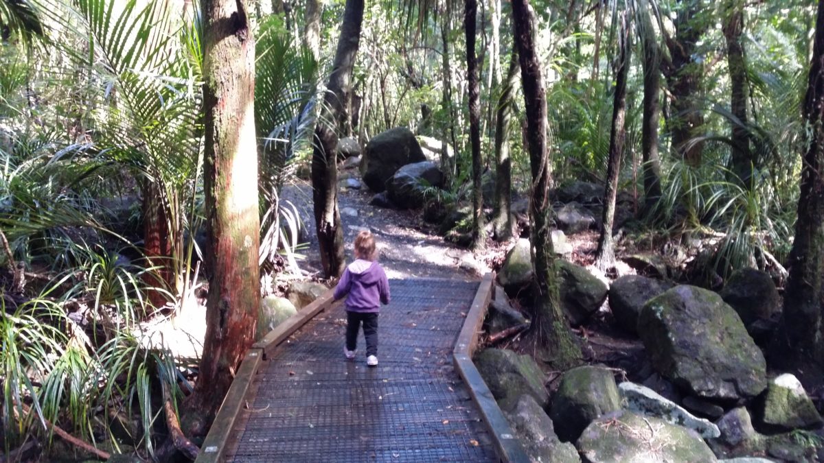
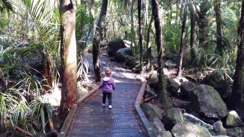
Only a 5-minute drive from the city centre, AH Reed Memorial Park encompasses a series of walks through native forest, including ancient kauri trees. The loop walk to and from the car park only takes about 15 to 20 minutes. One of the highlights is the forest canopy walkway which opens up a whole new view into our luscious fauna. A detour leads to Paranui waterfalls which at 23 metres high are definitely worth a visit. Toilets are located in the car park and there is a station to disinfect your footwear prior to entering the reserve in order to prevent spread of Kauri dieback disease .
Portland Mangrove Walk
This easy 40-minute return walk just south of Whangarei is one of a kind in the area. Winding its way through a mangrove swamp it eventually leads to a rocky point, providing great views over the harbour. It’s the perfect place to learn about Portland’s historic mining and cement-making industry while enjoying the tranquillity of nature. The track starts at Portland Wharf Road. There are no public toilets, but limited parking is available. Just around the corner is the start for the Tokitoki Creek Wetland Walkway, a 40-minute circular walk along the harbour.
Huitau Pā
The historical pā site at Taiharuru may not have any remnants left of its former occupation, but the 25-minute return walk along the edge of the cliffs is quite spectacular. Overlooking Whangarei’s east coast, Huitau Pā offers beautiful views across the ocean all the way to the Hen and Chicks Islands. There is a small car park at what is known to locals as ‘the gap’, a narrow cleft between the rocks where the waves crash in thunderous motions when the sea gets rough. To get to Huitau Pā simply follow the signs for Whangarei Airport, then turn off towards Whangarei Heads. After passing through the small township of Parua Bay, turn right on Taiharuru Road. The walkway starts just before you reach McGregor’s Bay.
Tutukaka Lighthouse
This walk is not for the faint-hearted and can only be done an hour either side of low tide. However, the effort of scrambling across steep hills is absolutely worth it, as you will be rewarded with amazing coastal views across the Tutukaka Harbour all the way to the Poor Knights and Great Barrier Island. The walk to the Tutukaka Lighthouse is signposted and starts at the car park off Matapouri Road. It takes about an hour return and sturdy footwear is a must.
Waimahanga Track
About 4 kilometres long, the Waimahanga Track in Onerahi is suitable for all ages and pushchair friendly. Leading through the mangrove forest around the harbour, the track is mostly loose metal and only has short bits that get a bit steeper. Throughout you can admire some native flora and fauna, including harakeke (flax), ponga (tree fern) and totara as well as kotare (kingfisher), fantails and shags. It’s not a circular walk, so plan your transport ahead or double the time for a return walk. Parking is available at either end of the track which leads from Waimahanga Road to Cockburn Street. No public toilets available.
Hatea Loop Track
The busiest of all Whangarei Tracks, the Hatea Loop Walk was officially opened in 2014. The circular walk around the Town Basin and along the Hatea River takes 40 minutes to an hour with ample opportunities along the way to stop for a cuppa, take a break or pump some adrenaline at the free fitness stations around the track. Among the highlights are the 2 newly built bridges that have won several national and international awards. Free and paid parking is available on either side of the Hatea River, public toilets are located at the Town Basin and in the car park near the hydraulic bridge.
Abbey Caves
On the outskirts of Whangarei is one of the most popular natural tourist attractions of the city. Abbey Caves Reserve is home to some marvellous and unique limestone creations among native bush and forest. It’s a favourite destination for young and old explorers. Access to the three caves is via a steep wooden stile and a series of box steps. The walkway leads through mowed grass with waymarks showing the way. Entry into the caves is at own risk and should only be undertaken by experiences cavers with proper equipment. There is limited parking on Abbey Caves Road and no public toilets.
Manganese Point
One of the shorter walks in the region, the Manganese Point walkway takes you through native bush down a flight of stairs to a secluded beach and reserve. The 20-minute return walk offers great views over the Whangarei harbour is the perfect spot to take a break from the hustle and bustle of everyday life. To get to Manganese Point leave Whangarei following signs towards Whangarei Heads. Follow the scenic route along the shores of the harbour, through the settlement of Tamaterau, then turn right onto Scott Road, then left onto Davidson Ave. This then becomes Manganese Point Road. Parking is available at the end of the road, public toilets are at the entrance to Tamaterau on the right.
Long walks (over 1 hour)
Spending an awesome day in the Whangarei region is easy as, and it doesn’t even cost you a cent! Simply grab your friends or family, choose one of the hikes below and venture into the great wide open. Each walking track offers magnificent vistas and lets you explore “the gateway to the north” from its most beautiful side.
Mount Aubrey and Reotahi Coastal Walkway
Discover Whangarei’s very own marine reserve with this stunning track along the coast of the Whangarei Harbour. Starting at McLeod Bay in Whangarei Heads just past the local fire station, the circular walk takes you through a Department of Conservation reserve and passes through the remains of an old meat processing plant from the early 1900s. One of the highlights are the magnificent pohutukawa trees alongside the track and native flora and fauna.
You can either complete the easy walk in 1.5 hours or choose a more challenging route and turn off onto the Mount Aubrey track. Adding on another hour to your journey, this track takes you to the summit of an ancient volcano from where you can admire spectacular 360-degree views of the harbour. The last bit is a steep climb with no handholds, so take extra care.
Parking for the Reotahi Coastal Walkway is available on Stuart Road at McLeod Bay near the community hall as well as on Beach Road and Bay View Road for different entrance points into the reserve. Public toilets and a playground are also located on Beach Road. Extra Parking for Mount Aubrey is available on Reotahi Road just past The Deck Café.
Otuihau Whangarei Falls Loop Track
According to the Lonely Planet guidebook, the Whangarei Falls are one of the most photographed ones in New Zealand. With more than 26 metres in height and water rushing down a set of steep basalt cliffs, they are worthwhile visiting. Rainbows can often be seen sparkling at the bottom from any of the 3 viewing platforms. From the car park off Boundary Road follow the signs across a metal bridge leading over the falls and continue a short descent to the bottom with a picnic and viewing area.
You can hike back up to the car park on the other side of the river or take the long route following the Hatea River all the way to AH Reed Memorial Park. This loop track takes about 3 hours and leads through native bush and forest, over a canopy boardwalk past ancient kauri tress and another waterfall at AH Reed. Via Clapham Road, Sands Road and Ngunguru Road you make your way back to the Otuihau Falls car park. Public toilets are in the car park as well as the one at AH Reed Park.
Mount Parihaka
Awarded with the prestigious international Green Flag Award, the Parihaka Scenic Reserve is a must-do when in Whangarei. The summit of the 24- metre high ancient volcano can be reached in various ways, each route taking about an hour return. The best place to start is at Mair Park on Rurumoki Street with public parking and toilets. Once at the top, you are rewarded with magnificent views over the city and its harbour, while information panels tell you all about the significance of the former pā site for Māori.
Coronation Scenic Reserve
Adjacent to Western Hills Drive close to Whangarei CBD stretches Coronation Scenic Reserve with a multitude of walks and trails. Commemorating the coronation of King George V., the reserve has a rich history with 2 pā sites and over 100 storage pits.
The main walk through the reserve is the fairly steep Frank Holman Memorial which Track starts at Kauika Road West and leads via a high ridge past one of the pā sites. A detour via the Kauika Road Link offers spectacular views from a lookout point high above the quarry.
Parking is available at the end of Kauika Road, at the Quarry Art Centre on Selwyn Ave and at the beginning of Russell Road. Public toilets can be found at the Quarry Art Centre as well as the nearby Quarry Gardens. Additional walkways link up to Whau Valley Dam and the Quarry Gardens, however, these are not maintained by the local council and partially lead through private land.
Mount Manaia
When you approach Whangarei from the south you can’t miss Mount Manaia towering in the distance as soon as you pass the Brynderwyn Hills. The majestic peak is a cluster of bush covered hills, remnants of an ancient volcano that is overlooking the harbour. The summit of Manaia rises 420 metres above sea-level. The climb to the top is steep and requires a god level of fitness, but the track has recently been upgraded and takes about 2 hours for the return journey.
There are several myths and legends surrounding Manaia, and local Māori will not live in its shadow. However, the views over the entrance to the Whangarei harbour from the top are quite impressive. The 4-kilometre return track begins at McLeod Bay at Whangarei Heads. Parking and public toilets are available at Mount Manaia Club on Whangarei Heads Road.
Smugglers Bay Loop Track
Located in the Bream Head Scenic Reserve, the Smugglers Bay loop is one of many walks in the region and perfect for a hot summer’s day. Starting from the car park at Urquharts Bay, the 3-kilometre track leads through coastal forest and past an old gun replacement from World War II. It was built as a defence against a possible invasion by Japan with a six-inch naval gun permanently installed. Kids love exploring this historic relic, while art lovers can admire the landscape painting of Bream Bay inside the remote control room.
From the gun replacement you can take the shorter, direct route to Smugglers Bay or follow the track around Busby Head for possible sightings of dolphins or seals who frequently visit the area before descending into Smugglers. The semi-sheltered beautiful little bay is renowned for its crystal-clear blue waters and ultra fine white sand which make it a perfect swimming spot for the entire family. Nearby trees offer enough shade to seek shelter from the sun before continuing over the hills through farmland back to the car park.